
 Image 1 of 4
 Image 2 of 4
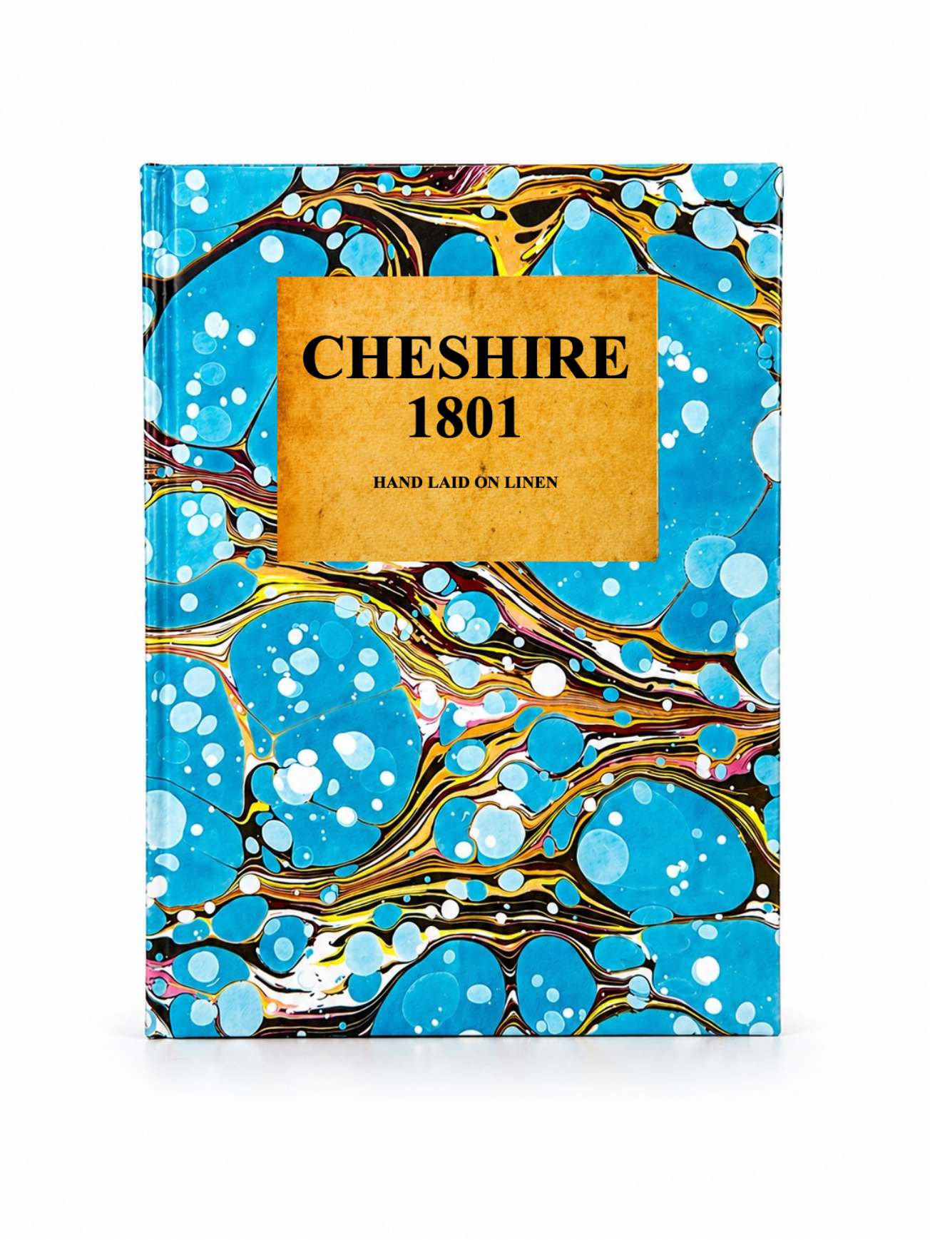 Image 3 of 4
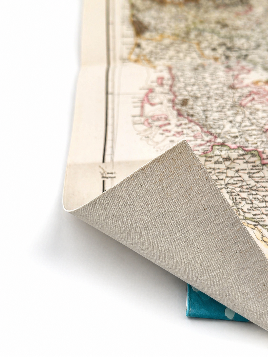 Image 4 of 4
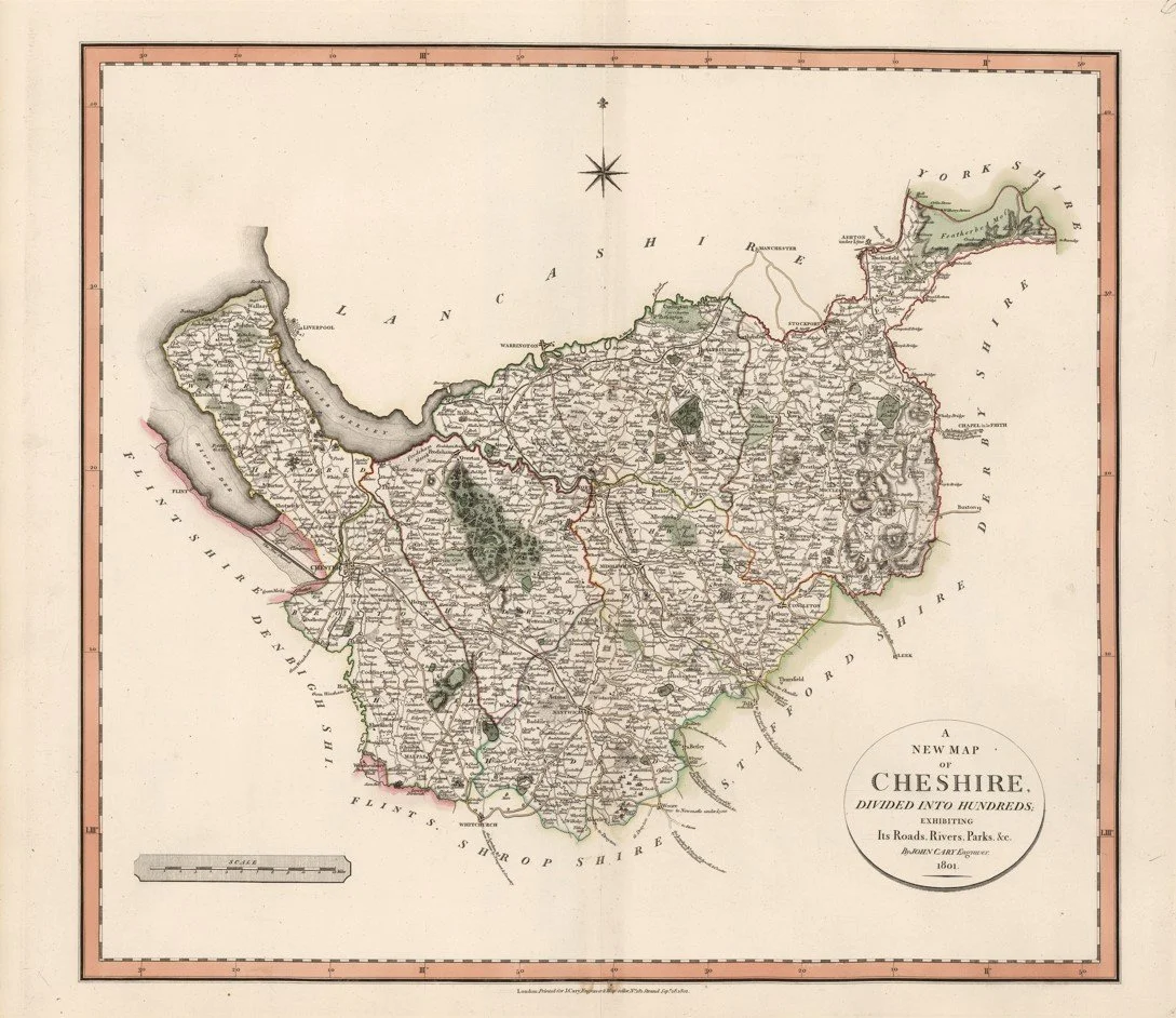
A finely detailed antique map of Cheshire from circa 1801, showing the county divided into its traditional hundreds and parishes. It presents roads, rivers, towns, parks, and administrative boundaries with the precision characteristic of early 19th-century English cartography.
Cartographer: John Cary (1754–1835), English engraver and map publisher.
Published in Cary’s New English Atlas (county maps issued 1801–1809).
Each map is hand-laid on linen, enhancing durability and preserving colour over time. The linen backing also allows you to iron the reverse to remove folds and creases.
Supplied folded in a labelled, decorative package as shown in images. (Design of packaging may vary)
Only Available in one size
39 × 46cm